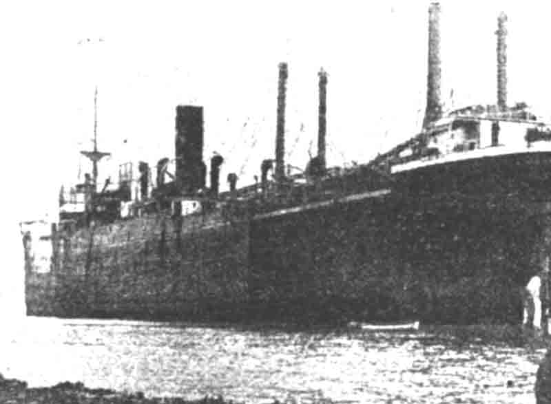
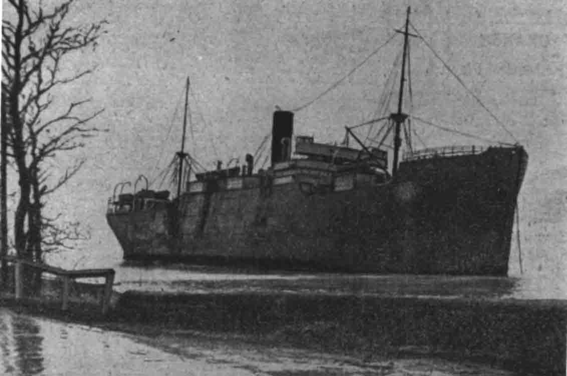
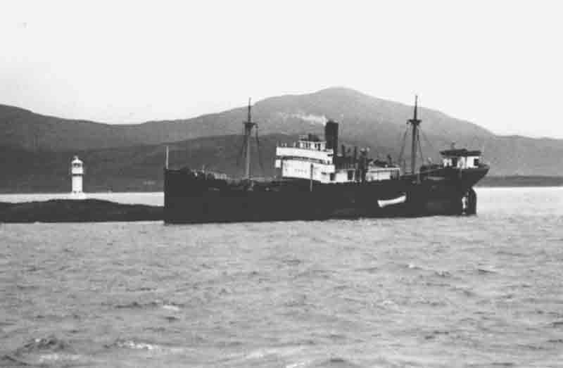
Built for the Sharp Steamship Co. Ltd of Millburn House, Newcastle the steel steamship Elterwater measured 280.5′ x 41.6′ x 20.1′ and weighed 2126 gross tons, 1232 net tons. She was launched from the yard of Smith‘s Dock Company Ltd on 10th November 1924 and was powered by a triple expansions steam engine built by Smiths delivering 231 net hose power.

Elterwater builder’s profile and deck plan

Lloyd’s register 1927
The Elterwater arrived at Ghent with a cargo of coal from Hartlepool on the 28th July, 1927 which was discharged before she began loading her cargo of 500 tons of pig iron and 2300 tons of steel plates and bars for the return voyage. On the 30th she left Ghent and headed for Antwerp where she was further loaded with more general cargo destined for her next destination – Grangemouth on the Firth of Forth. On the 4th August at 4:30 pm she set off for that port under the command of Captain Arthur Coates with a crew of 20 men aboard.
After exiting the narrow channel and negotiating the lock at the entrance to Antwerp harbour she entered the North Sea and a course NWbyN1/2N was set to take her directly towards the Forth estuary. She made good headway and by midnight on the 5th of August she had covered 185 miles at an average speed of 9 knots. By now she was on a WNW course and passed the Flamborough Head light at 1:20 am on the 6th and Longstone Light at 1:30 pm. Here a bearing was taken by the master who altered course slightly as a result and continued steaming at the same speed on this new course. Visibility at the time was noted as hazy but nothing to be concerned about. By the time they passed St Abbs Head light the visibility had improved allowing the master to take a four point bearing and further adjust his course. At this point everything was normal and the master appeared to have an exact idea of his course and position. Then, around 5:30 pm, they encountered thick fog and the telegraph signalled the engines to slow speed as they felt there way through the thickening gloom. The master heard the fog signal at Bass Rock which he determined to be off his port bow. This was verified by the second officer who was on the bridge with the master at the time. 15 minutes later the ship ran hard aground in a position which was later determined to be three quarters of a mile south of South Carr Beacon.
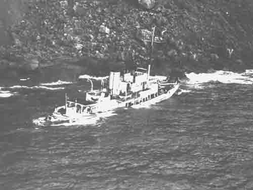
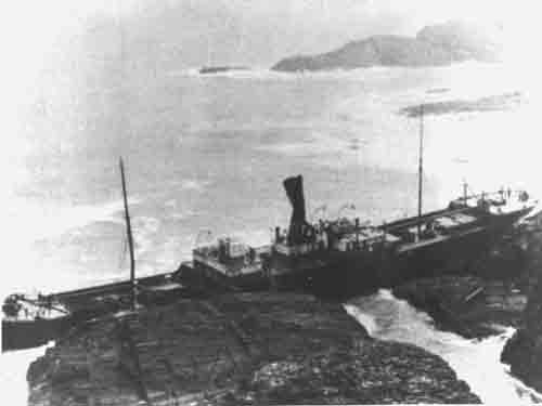
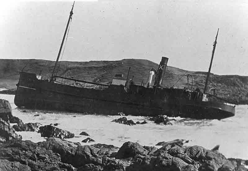
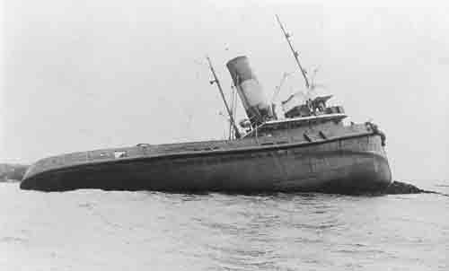
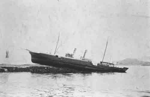
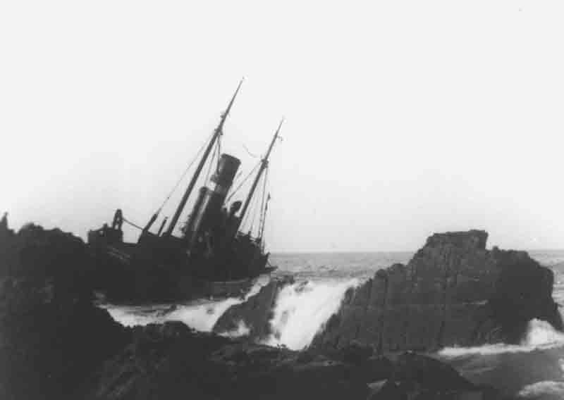
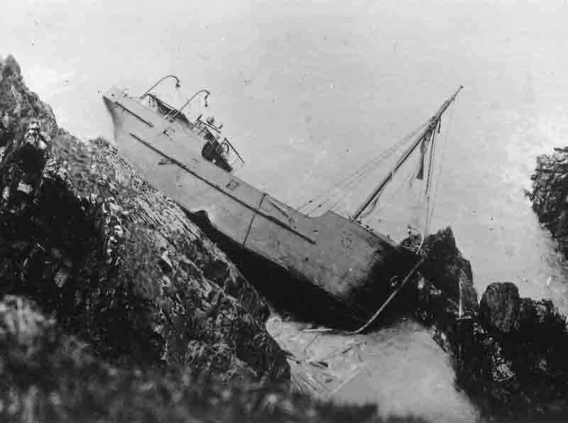
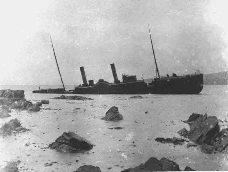
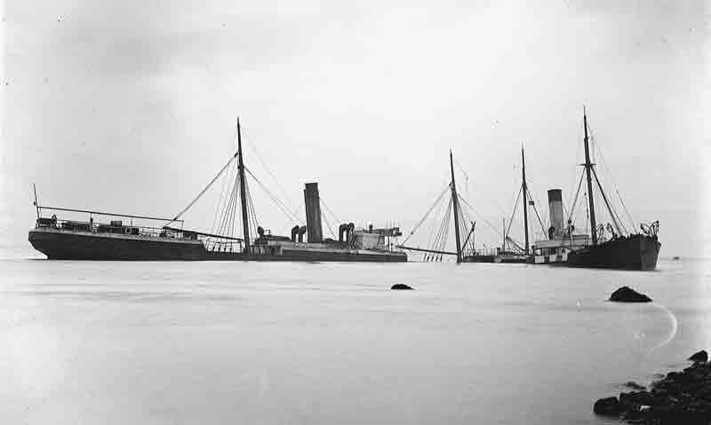
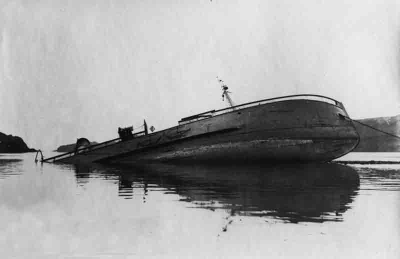
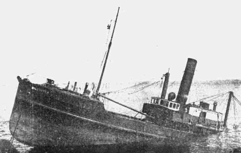
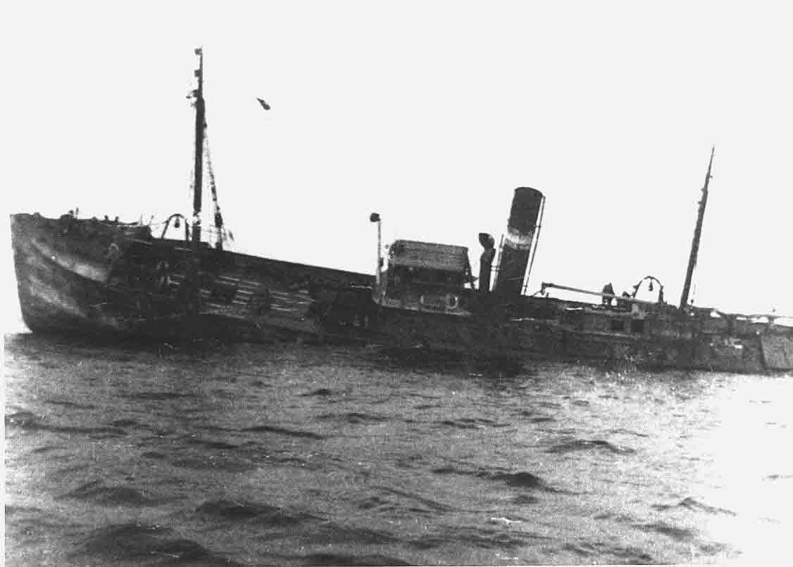
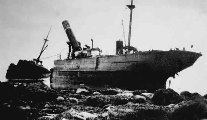
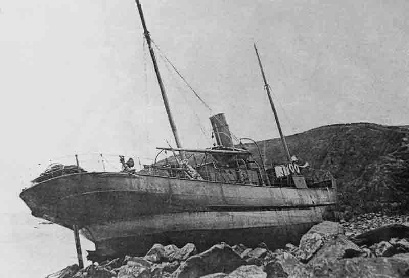
Immediately on grounding the engines were reversed but the ship was stuck fast. The look-out at the nearby Coastguard station spotted the ship ashore and raised the alarm which brought the Dunbar lifeboat and the local rocket brigade to the scene. When the lifeboat arrived it stood by for some time but, as the sea was calm, the men aboard were in no immediate danger and, having informed the lifeboat skipper of their intention to remain aboard the stranded ship, the lifeboat returned to base. Although the pumps were kept going all night the water steadily rose in the ship finally extinguishing the fires and stopping the engines and pumps. At 5 pm the next day the master and crew of the Elterwater abandoned ship and for some time maintained a watch on the ship, which by this time had developed a 16 degree list to port, from the shore before abandoning her to her fate.

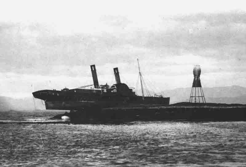
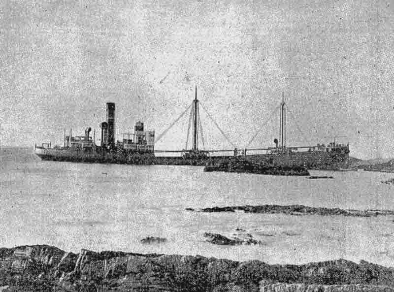
Elterwater stranded near North Berwick
Inspection by Salvage Association Special Officer on 9th August revealed that she was seriously damaged and his view was that recovery of the ship was extremely doubtful. A ’no cure no pay’ contract was signed with the Leith Salvage Company who immediately started work to assess the wreck and determine the best course to salvage the ship. However by August 13th the hull of the ship had deteriorated with the stern dropping ten feet indicating that the ship had, or was about to, break her back. The salvors reported her position now very critical. Deteriorating weather through the 15th and 16th caused further damage. In the following days some of the cargo was successfully removed but on the 21st September the salvors finally concluded that the ship itself was unrecoverable. She became a total wreck but much of the cargo was recovered and the ship herself and was heavily salvaged where she lay in the coming months.
At the subsequent enquiry it was held that the master’s intended course east and north of Bass Rock to be a safe and proper course and that he made appropriate adjustments for speed, tides and sea conditions but, after testimony by two local fishermen,, it was concluded that there was an unusually strong and unpredictable tide (one fisherman stated that it was the strongest tide he had experienced in 25 years of fishing in the area) which had pushed them towards the shoreline causing them to be two miles south and west of their intended course at the point of the stranding. However, the enquiry also felt that, in the circumstances of extremely poor visibility, the further precaution of sounding with the lead should have been implemented and was not used. The Master had relied too heavily on the determined location of the fog signal – it is notoriously difficult to accurately determine the direction of a sound at sea, particularly in poor visibility. The court found the master in default and but refrained from suspending his certificate due to his long and faultless previous service.

As stated above the wreck of the Elterwater was heavily salvaged at the time and in the years to come but some wreckage still exists where she went aground in position 56°03.096’N, 002°36.890’W in depths of 5 or 6 metres.