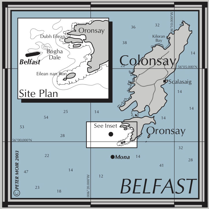
The steamship Cartago Novo, official number 65,553, was a twin screw steamer built of iron by Palmer’s Shipbuilding and Iron Co. Limited at Jarrow (Yard No 264) and launched on 23rd November 1870. She sailed for many years under this name until 1895 when she purchased by Sir Daniel Dixon of Belfast and her name changed to Belfast. Her tonnage was 1638 gross tons, 1336 net tons and she measured 265.6′ x 34.2′ x 24.3′ She was powered by a compound steam engine by Palmer’s delivering 120 registered horse power.
Steamship Belfast under way
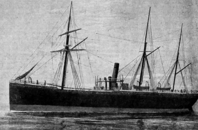
The Belfast left Sapelo, Georgia, USA on 4th March, 1895 bound for Moville, Lough Foyle with a cargo of 1900 tons of pitch pine, under the command of Captain John Brown with a crew of twenty one. The voyage went well until the 16th when the weather closed in. The captain had to guide his ship for the next six days without the benefit of sustained clear weather to take navigational readings although a few glimpses of sun and stars did give some idea as to their location. On the 22nd they then ran through a strong SW storm which further confused their position.
By this time they were nearing the British coast and the captain began to get concerned. He ordered sounding to begin and slowed his vessel. Each short sighting and depth sounding confirmed the ship’s position until, at around 5pm on the 22nd, the weather briefly cleared once again. This apparent good fortune was to result in the loss of the ship. The captain caught a glimpse of what he believed to be the headlands at the entrance to Lough Swilly. This put them well away from the position calculated by previous sightings and dead reckoning but Captain Brown was convinced. It is likely that what he actually saw was a bank of fog. Shortly after this the weather closed in again and the fate of the Belfast was sealed. They steamed on at dead slow pace until they spotted a light which they believed to be Inishtrahull Lighthouse and they steered towards it but it turned out to be a light on another passing ship. The captain returned to his original course and crept nervously eastwards.
By 9pm he began to think that he should turn his ship westward and hold his position until daylight but, before he took this action which would have saved his ship, they ran aground and the ship immediately began to settle in the water. Captain Brown gave the order to abandon ship and, by the time the crew launched the boats and pulled away 20 minutes after running aground, the Belfast had already almost vanished with only her stern still visible above water. On landing the next morning they were told that they were ashore on Colonsay and that their ship had run aground on a reef, later reported as Oagdale Rock, two cables west of Oronsay Island. At a subsequent enquiry Captain Brown was admonished but not held to blame for the loss of his ship as he had taken all reasonable precautions but had made a severe misjudgement when he ignored all his calculations and relied on the one short sighting of land.
Lloyds Casualty Report
The remaining wreckage of the Belfast, which has been heavily salvaged, lies to the south west of Bogha Dale, a dangerous reef which barely breaks surface at low water. The reef is best located by GPS but is likely to be visible as swell moves over the shallow rocks.
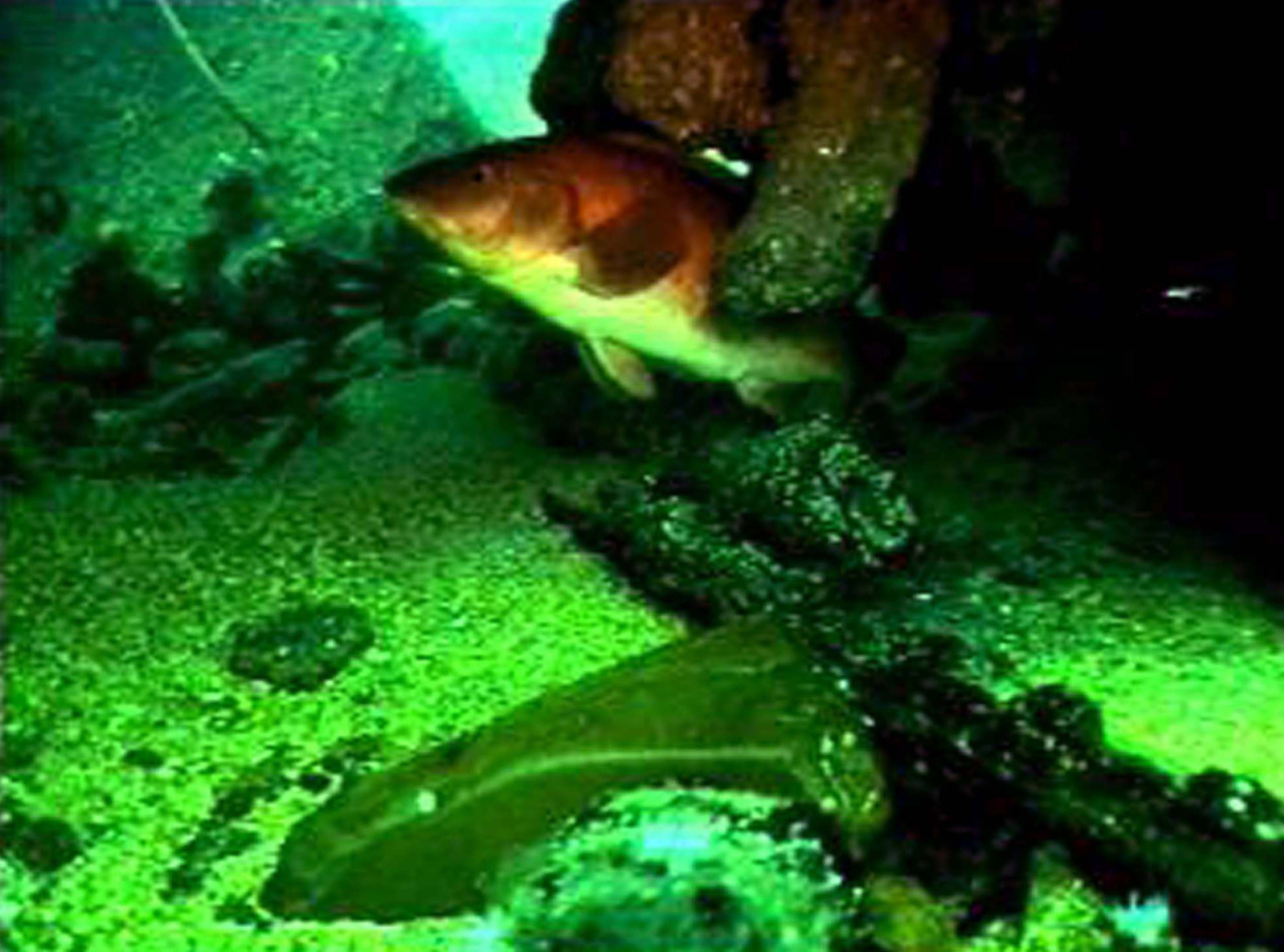
Belfast Dive slideshow
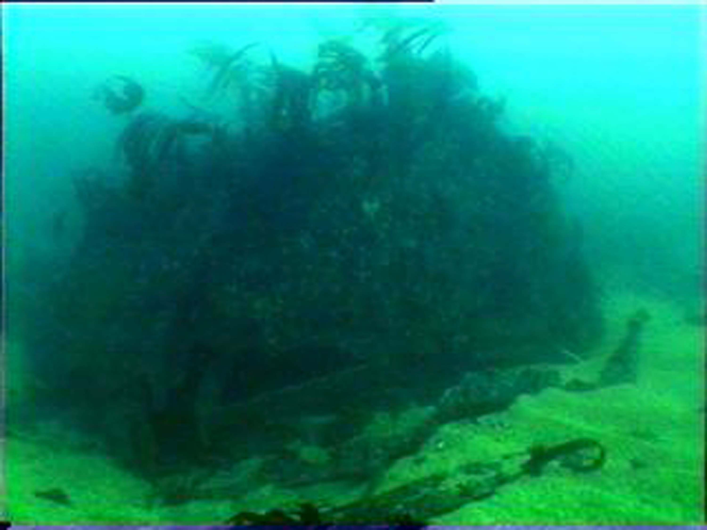

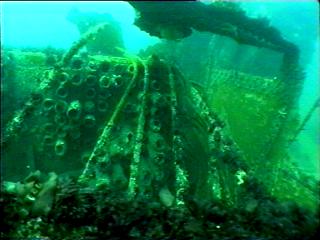
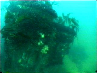

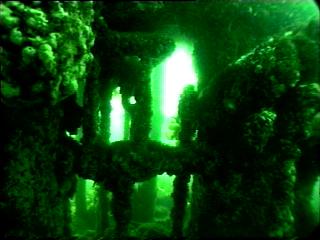
The actual position of the wreck itself is approximately 150 metres south west of the rock in position 56°00.766′ N, 006°17.766′ W. The wreckage, which lies between 8 and 16 metres, is spread over a wide area with the gigantic engine block, rising 5 metres from the shingle seabed with the remains of the boiler and condenser close by providing the most interesting area. Otherwise the wreck is mainly ribs and plates lying flat on the seabed. This is a very exposed site which is only approachable in the calmest of conditions.