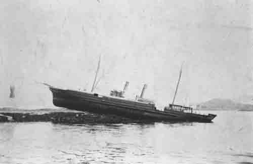
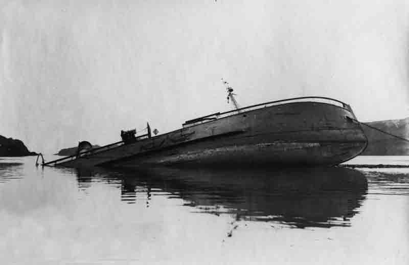
The iron steam trawler Chester was launched from the North Shields yard of Edward Brothers Ltd (Yard No 533) on 3rd November 1896. She measured 104.0′ x 20.7′ x 10.5′ and her tonnage was 143 gross tons, 45 net tons. She was powered by a triple expansion steam engine by North Eastern Machine Engineering Co Ltd., Sunderland delivering 45 registered horse power. Built for Hagerup, Docherty and Co Ltd, Grimsby she was first registered in this port GY148. Her official number was 106682. Ten years later, in April 1906, she was purchased by the Consolidated Steam Fishing and Ice Co Ltd of Grimsby and continued to operate from the north east English fishing port.

Lloyd’s register 1915
With the outbreak of Word War One, like many of her sister fishing vessels, she was requisitioned by the Admiralty and converted for operation as a minesweeper. The Admiralty re-named her Chester II, presumably as another vessel was already using the name Chester. The precise circumstances surrounding her loss are unclear with records classified under wartime restrictions but it appears she was lost on 29th February 1916 in a collision with a British motor torpedo boat TB28 off Gullane with both vessels operating without lights in darkness due to wartime rules and regulations. Thankfully there were no casualties but Chester sank and was lost as a result.
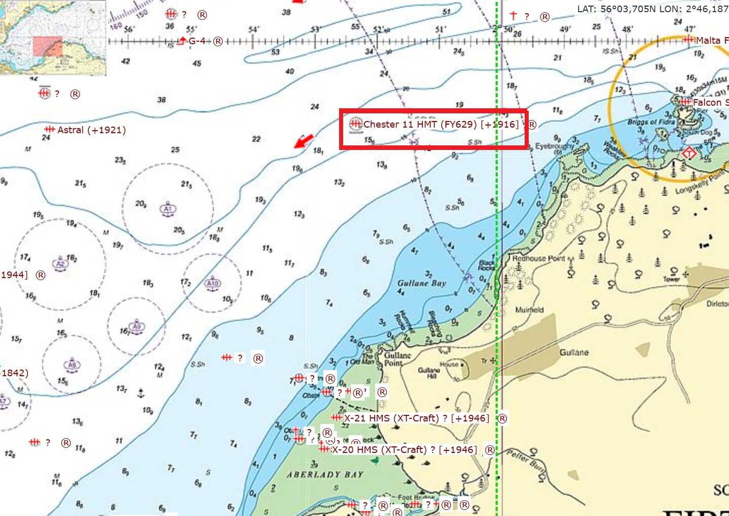
Wreck location
The wreck believed to be Chester lies in position 56° 04.262’N, 02° 52.339’W. She lies upright on an even keel in 20 metres with a least depth clearance of 17 metres. The last report of the wreck is dated 1980 indicating that, at that point, she was in tact. The buoy which had previously marked the wreck’s position was removed in 2006. We have no further more up to date information on the state of the wreck today.