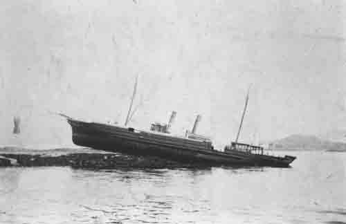
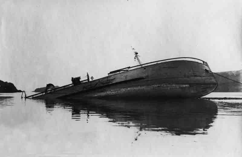
The iron schooner rigged steam yacht Matador was launched from the Clydebank yard of James and George Thomson (Yard No 174) on 3rd June 1879. She measured 131.5′ x 19.8′ x 9.5′ and her tonnage was 157 gross tons, 100 net tons. She was powered by a 2 cylinder compound steam engine by her builders delivering 42 nominal horse power. Ordered by Mr John Burn of Castle Wemyss she was registered in Glasgow. Her official number was 80459. The vessel had a varied career for multiple owners in Scotland, Ireland and England before she was acquired by her final owner, Mr Peter Bordewick, and registered in Hull in 1917. At some point through this period she was converted to a cargo steamship and her engines were converted to run on diesel fuel.

Lloyd’s register 1924
On 9th October 1924 Matador was en route from Thurso to Methil in ballast under the command of skipper F Cameron who had a crew of five men aboard. As she departed from Thurso she temporarily grounded but floated off immediately and continued on her voyage south. Skipper Cameron was unconcerned but, around 7pm as the vessel steamed south off Stonehaven, she developed a leak,. Whether the leak was related to her earlier grounding is not knownn. Despite the crew’s attempts to stem the flow, Cameron was forced to order his crew into the ship’s boat as she was sinking fast. They fired distress rockets but had to leave Matador to her fate before any assistance arrived and as they departed the decks were awash. They did not see her actually sink but it was clear she was lost.
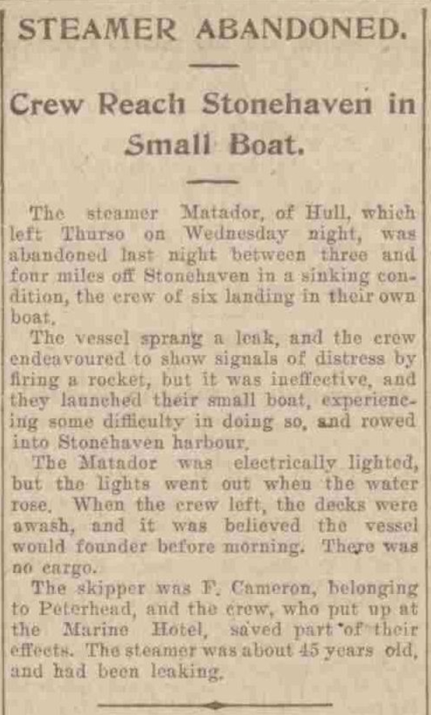
Aberdeen P&J 10th October
The wreck of the Matador lies in position 56° 57.386’N, 02° 01.795’W oriented 040/220 degrees. She lies upright and mainly in tact in 57 metres with a least depth clearance of 53 metres. In 1960 the local fishing vessel Mary Gowans trawled up the Matador’s nameplate confirming the identity of the wreck.